Using borehole gravity monitoring for carbon capture and storage reservoirs
As the global push for carbon neutrality intensifies, the oil and gas industry is increasingly exploring carbon capture and storage (CCS) as a key strategy for reducing CO2 emissions. The success of CCS projects hinges on accurately monitoring underground formations to ensure their long-term effectiveness.
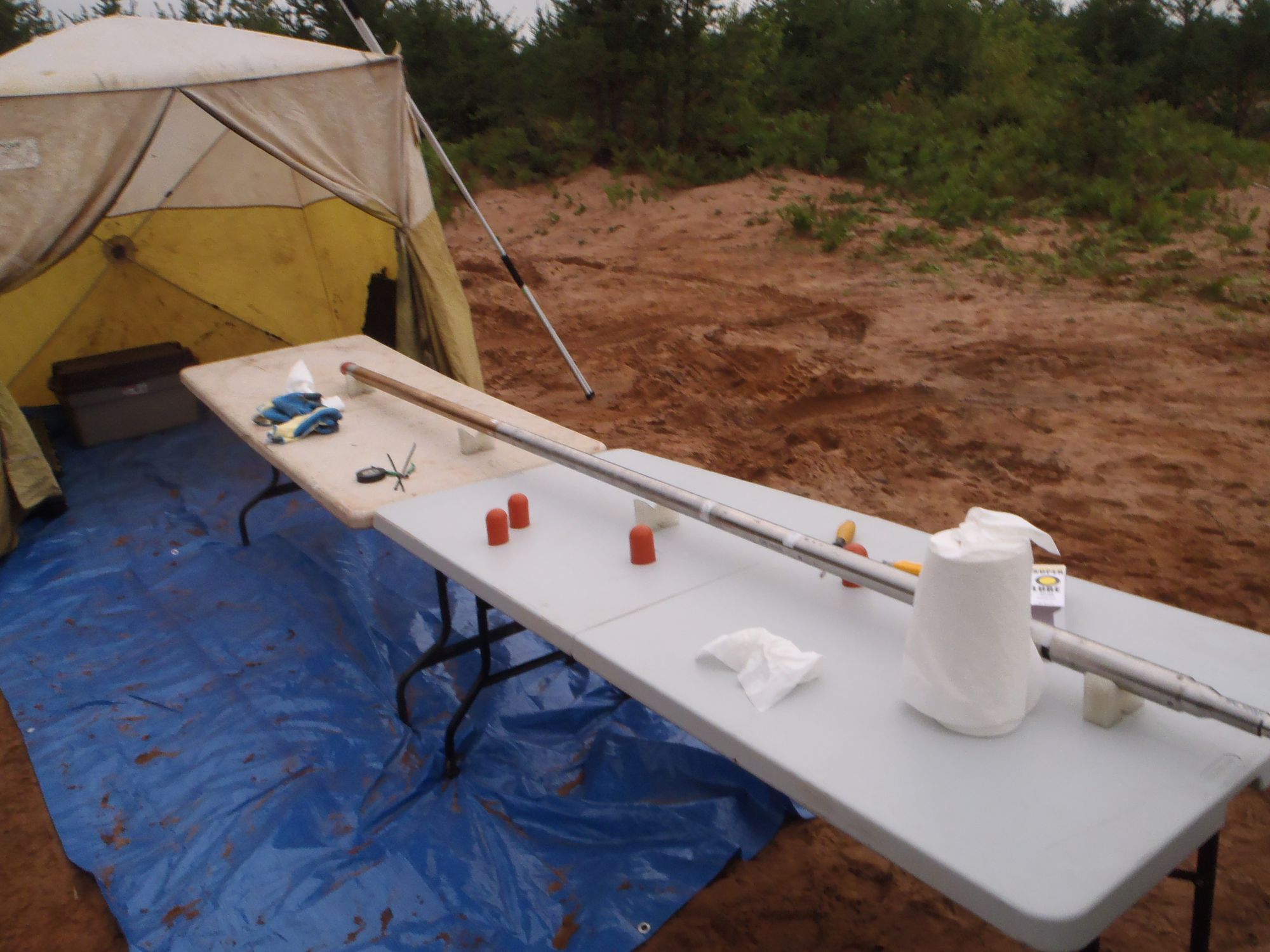
At Abitibi Geophysics, we are currently testing the application of borehole gravity monitoring for CCS reservoirs. Initially developed for mineral exploration, our advanced Gravilog™ system—a slim-hole gravity sensor from Scintrex Limited—shows promise as an affordable solution for tracking the injected CO2. This sensitive instrument is designed to detect subtle density variations in complex geological environments, offering high-resolution readings and a noise envelope comparable to surface gravity meters.
“Borehole gravity monitoring holds significant promise for advancing carbon capture and storage initiatives. Our ongoing tests with the Gravilog™ system will evaluate its potential to accurately track density changes within the reservoir. This method could become a vital and cost affordable monitoring tool at CO2 storage sites.”— Chris Nind, VP Business Development, Abitibi Geophysics
If proven successful, Gravilog™ could transition from a proof of concept to a regular monitoring tool for tracking temporal density fluctuations and ensuring the stability of CO2 storage sites.
Potential benefits of Gravilog™ for CCS monitoring:
- Time-lapse subsurface imaging: Evaluates density changes within complex geological settings over time.
- Precision in density measurements: Detects minor anomalies with high accuracy.
- Versatility in various geological settings: Adaptable to different conditions for comprehensive evaluation.
- Enhanced risk mitigation: Provides critical data for thorough site assessment and ongoing monitoring.
In addition to monitoring density changes, integrating borehole gravity survey data with other geophysical and geological information is crucial for developing comprehensive subsurface models. Abitibi Geophysics’ team of experts can create detailed 3D models that offer a more accurate representation of reservoirs. These models are instrumental in predicting the spread of injected CO2 over time, assessing storage capacity, and evaluating potential risks. Our approach to data integration and modeling enhances the overall understanding of CCS sites, contributing to more informed decision-making and optimized storage strategies.
Want to find out more about our monitoring solutions? Contact us!


