Electromagnetics - Ground VLF (Very Low Frequencies)
VLF surveys utilize radio waves, typically in the 15-30 kHz frequency range, as a transmitter to detect surface conductors to map shallow conductors, and define structures, such as mineral deposits, fault lines, and fractures in the upper layers. VLF surveys are valuable tools in mineral exploration, environmental studies, and geophysical mapping due to their ability to provide valuable subsurface information in a non-invasive way.
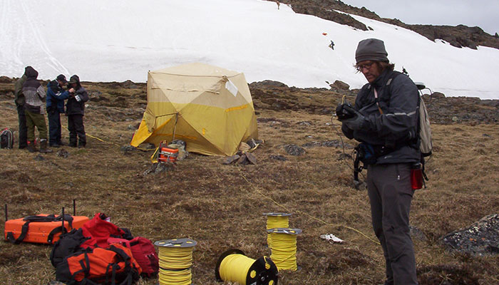
Ground VLF
This passive electromagnetic method is a low cost and rapid acquisition method since it uses existing transmitter antennas. All we need is a single operator with a system installed on a backpack to cover several kilometers in a day.