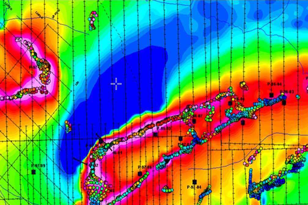
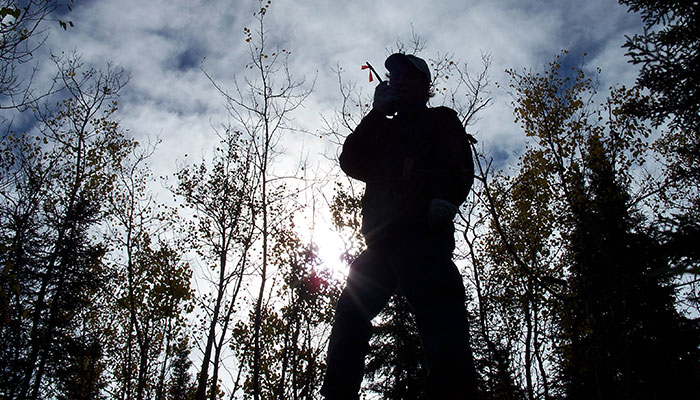
Ground, borehole, and drone magnetic surveys
Ground, borehole, and drone surveys are used for direct detection of iron-rich minerals or for mapping geological units with variable susceptibilities.
Applications in mineral exploration:
-
Iron ore prospecting.
-
Iron formations with associated mineralization: IOCG.
-
Chromite and manganese prospecting.
-
Sulphide occurrences associated with magnetite and/or pyrrhotite.
-
Kimberlites, asbestos & placer deposits.
-
Geological mapping of lithology.
-
Structural mapping (faults, fractures, shear zones, folds, etc.).
-
Structurally-hosted deposits (U-conglomerates, stratiform Pb-Zn).
-
Depth to bedrock to determine thickness of sedimentary section, overburden, etc.
-
Inexpensive equipment and straight forward survey procedures.
-
High resolution and cost-effective for detail or reconnaissance surveys.
-
Useful complementary data enhances interpretation of other geophysical surveys.
-
Highly sophisticated processing and interpretation tools.
-
Weak and ambiguous responses at low latitudes.
Technical specs:
-
The total field can be measured in continuous mode (every second) or at each station.
-
A magnetometer with integrated GPS simultaneously records the exact position and the total field by foot, boat or all-terrain vehicle.
-
Measurement of the total field (Hx, Hy, Hz).
-
Can be combined with other sensors.
Deliverables:
-
Color cards for contours and profiles.
-
Total field vertical gradient.
-
Second derivative derived from tilt.
-
Analytical signal.
Innovation: AeroVision Drone-MAG (Airborne Geophysics)